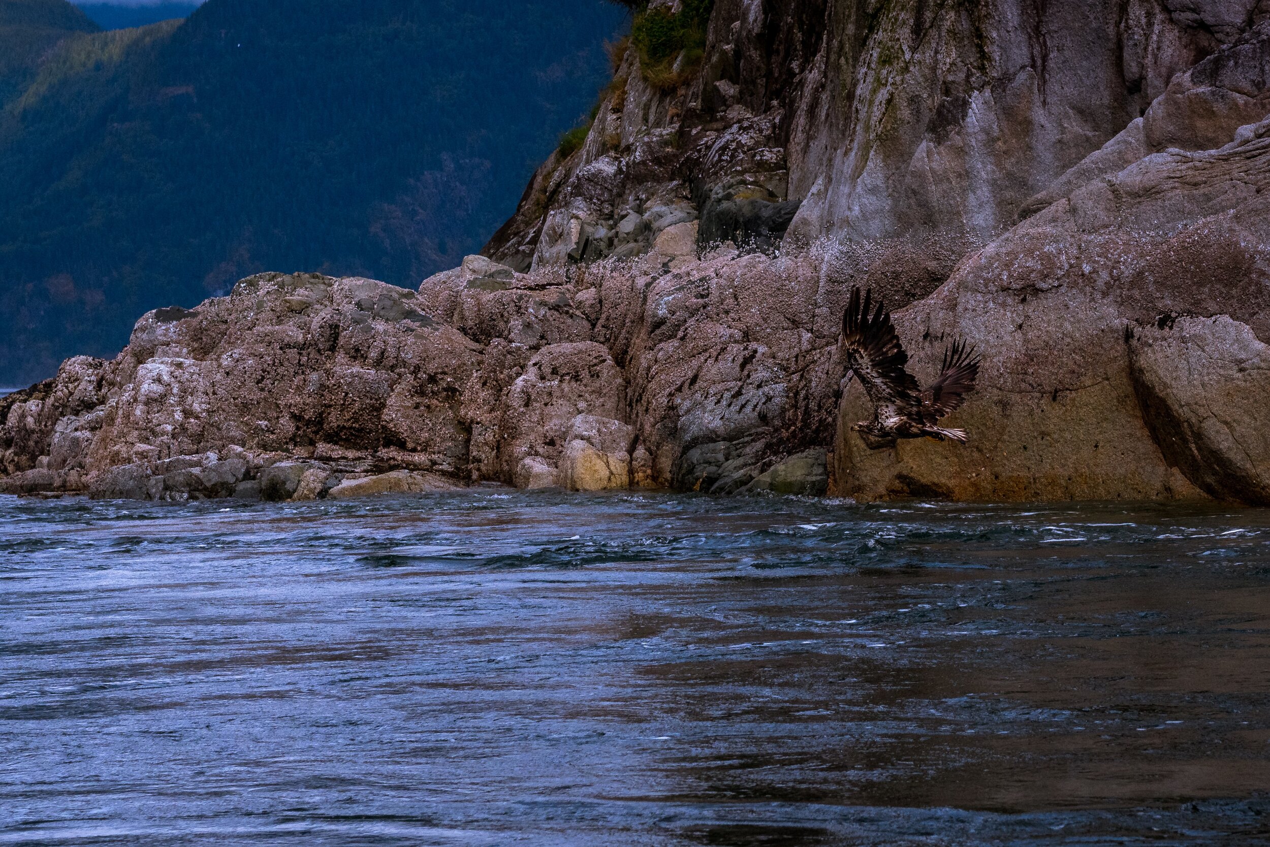
Pauquachin Lands
Traditional Territories
Pauquachin First Nation holds existing title on three Indian Reserves in the Saanich Inlet basin on Southern Vancouver Island, with Coles Bay (Indian Reserve #3), Hatch Point (Indian Reserve #12), and Goldstream (Indian Reserve #13) (AANDC, 2015). For the Goldstream reserve, Pauquachin holds a shared claim along with the Malahat, Tsartlip, Tsawout and Tseycum First Nations for traditional fishing purposes. Indian reservations were established as part of the 14 Douglas Treaties on Southern Vancouver Island, which were a colonial policy that recognized aboriginal possession of land. All on-reserve Pauquachin members reside in Coles Bay IR #3, where existing land use is largely residential with some cultural and administrative amenities found primarily in the western reaches.
Geography
In the centre of the reserve, there is a 3.5 hectare gravel pit that is surrounded by forested lands. The Coles Bay reserve is bound to the south and east by John Dean Provincial Park. The western reaches of the reserve is where the land is relatively flat and there is good access to the Saanich Inlet. Towards the east of the reserve, the forested lands steepen considerably as the reserve backs onto the western slopes of Mount Newton. Topography is an important consideration when assessing opportunities for land development.
Land Management Act
Pauquachin First Nation is not under the First Nations Land Management Act and is not Land Code operational. The Band is in the process of confirming funding for a Land Code and will be working on a Land Use Plan in the upcoming year. Currently, land jurisdiction, management and development approvals are under the Indian Act. Addressing gaps in land use management frameworks will be critical in moving forward in development on Pauquachin land.


